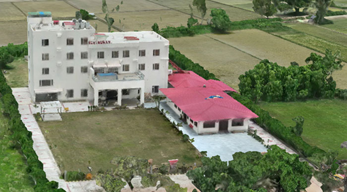
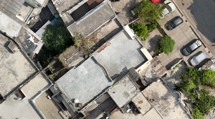
3D MODELS
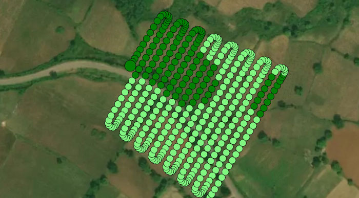
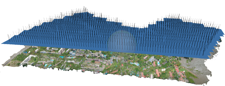
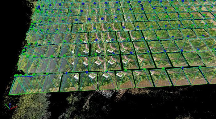
While the traditional mapping uses Images at Nadir to derive DSM and Ortho, for creating a high accuracy 3D visualization that can be measured up to cm level precision, both Nadir and Oblique images are captured to generate the #D model of terrain and objects.
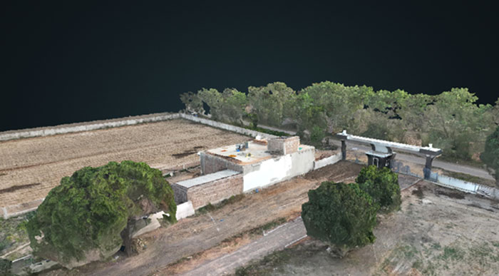
The images on left pertain to same area. While the 2D Ortho indicates the dimensions of the house, the 3D Model at the bottom allows user to visualize the exact layout including the objects placed on the roof, entry and exits to the house and so on.
Such visualization is essential for structural inspections, monitoring, violation of building norms as well as for Security Forces and Law Enforcement Agencies.
We at HawkEye, have a vast experience in this field and our Team with latest equipment and software can reconstruct a highly accurate 3D visualization for our clients.