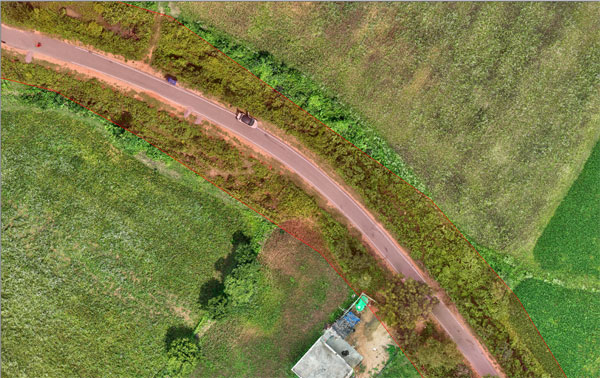
Corridor Mapping
Corridor mapping with drones is a highly efficient solution for capturing detailed and accurate data of linear infrastructure such as roads, railways, pipelines, and power lines. Using advanced drone technology equipped with high-resolution cameras and sensors, this service delivers precise geospatial data, 3D models, and orthomosaic maps. It ensures faster data acquisition, minimizes fieldwork risks, and reduces costs compared to traditional methods. Ideal for planning, monitoring, and maintenance, drone-based corridor mapping provides actionable insights to optimize infrastructure development and management.