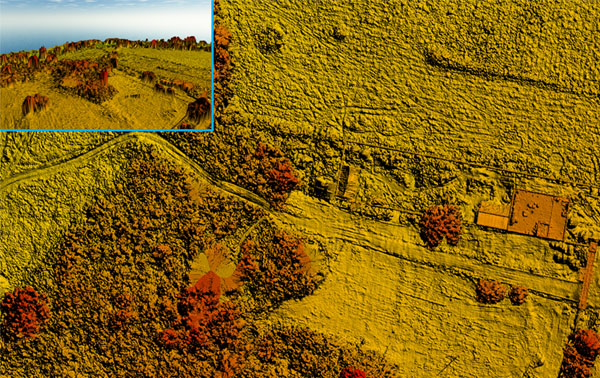
Digital Surface Model & Digital Elevation Model
Our drone-based DSM and DEM services provide highly accurate representations of terrain and surface features. A Digital Surface Model (DSM) captures all visible objects, including vegetation, buildings, and other structures, while a Digital Elevation Model (DEM) represents the bare-earth terrain, excluding surface objects. These models are essential for applications like topographic analysis, urban planning, flood risk assessment, and infrastructure development. By utilizing advanced drones and sensors, we deliver precise, high-resolution data quickly and cost-effectively, enabling informed decision-making for your projects.